Tuesday, September 29, 2015
9/29/15 NIMO IC Hahnenberg Introduces a new APP at the River Complex
NIMO IC Bill Hahnenberg introduced firefighters to a new "APP" at the River Complex on the Shasta Trinity National Forest, September of 2015. It was a great message about managing large, long-term fires.

9-29-15 Relaunching the NIMO Blog
For anyone who might have tried to follow this page, we have not been very good about using it to share what we are doing or what we see YOU all doing that we think is valuable. But that will soon change and we will be posting more things here. If there is something you'd like to see here that originated with NIMO, please let any NIMO know and we will run it by the Executive Council.
Thank you for your patience
Thank you for your patience
Saturday, May 17, 2014
5/16/14 Pam and Peter for FireSmart - Kaiteriteri National Park
.jpg) |
| Peter talks about the native species he has planted on his property |
We began a very nice, sun filled day by going to meet Pam and Peter Holloway at their home overlooking Sandy Bay and the Tasman Sea, in the Golden Bay area. They have been instrumental in bringing FireSmart to the Sandy Bay area and to the 35 homeowners who live there. They hosted us for tea and conversation about how that program is working, citing a common universal problem of getting all the neighbors to support efforts to eliminate "wildings" which are non native Radiata pine trees.
 |
| The group enjoys tea on the deck |
 |
| Beautiful beaches |
Following tea, we headed for a wonderful day boating and hiking in the Kaiteriteri National Park, a place with with several of the "Great Treks" of New Zealand. They have a significant hut system along
many miles of trails in the 22,000 hectare Park and we had a delightful time on about 5 miles of the trail. Some pictures here but more in the dropbox!
.jpg) |
| Our boat for the trip |
 |
| Everyone enjoyed a walk on the beach |
Many more pics will be in the dropbox of this beautiful park.
5/16/14 Nelson - Richmond
Morning found us on the bus again for a 292 kilometer bus ride north to Nelson at the very northern end of the south island. We drove on a cold morning up through the New Zealand Alps, through Lewis Pass, with beautiful views of the mountain peaks, rolling fog and some frosty ground, stopping at a high point called Hope Pass. Down and out of the mountains, we stopped for lunch at Richmond and listened to Ian Reade with the Rural Fire Authority for the Waimea District who told us about the area
Nelson and the Tasman area has a population of 100,000 people, half of which live in town and half in surrounding areas. The main economic activities are: Exotic Forestry (non indigenous, mostly Radiata) and wood processing (medium density fiberboard, laminated veneer). The forests are similar to South America and were all privatized in 1990 and currently, 30% - 40% of wood goes off shore and the rest is
.jpg) |
| Ian Reade presents in Richmond |
The Waimea RF District is 1,018,437 hectares covering Nelson City and Tasman District. 5500 ha is Urban Fire Districts, 120,000 ha is Commercial forest, 632,000 ha is Dept. of Conservation reserves of indigenous forest and 5000 ha is agricultural. They have a Rural Fire Committee which oversees the Rural Fire Network which provides fire management through a Principal Rural Fire Officer (PRFO). Stakeholders own all the equipment and contractors just do the firefighting & maintain the equipment.
 |
| The areas around Nelson and Richmond |
The area is managed in zones primarily by the kind of land: conservation, exotic forestry etc. There are only three seasons: open to burn (with conditions), restricted (permit required & conditions) and prohibited (no fires but some exceptions). Most of the Waimea is restricted all year except for a few areas where its prohibited.
The risk profile is similar to many tourism based places in the US: WUI areas, steep terrain with heavy fuel load, a lot of tourists, commercial forests, and 67+ days of high fire danger. Fire was used for some land management, some in land clearing, but not much any more. It is used for disease management especially in agriculture, but most planned or prescribed burning is done by by private landowners in yards and gardens.
The PRFO is in charge of 7 of the rural fire brigades. The volunteers do deal with structure fires, vehicle accidents and other things because they are often on scene first, but there are urban firefighters trained for those things. They use fire lookouts as fire weather index goes up in the summer as a lookout and as an initial coordinator between the 111 call (their 911) and those first on scene. The lookout also watches for smoke when there are restrictions and the public knows he is there and watching which serves as a deterrent.
They do run a preparedness program through the forestry company which goes out at 10 am to let forest production operators know the fire danger rating and the crews must stick to the rules associated with that danger class. As it gets worse, they are required to repeat back on the radio to ensure they understand. Publicity is done all summer aimed at visitors and patrols are increased.
 |
| The ocean at Nelson in NZ |
FireSmart is also in place, their version of FireWise. It's aimed at rural communities and the WUI and just informs the public about the risk to life and property and stresses that they should not rely on the brigades coming to save them. Mostly focused on fuel reduction by going into communities to show them the tools they can use to reduce their risk.
It's interesting that at least on the South Island, the New Zealanders don't really have prescribed burning as part of hazard reduction - certainly not in indigenous vegetation since fire is not believed part of the ecology here since lightning is very rare. Mechanical reduction is all that's allowed. The only burning that's done is by private landowners and on agricultural land.
The Rural Fire Authority is very aggressive in pursuing remuneration from those who have caused fires. In some high profile cases, where the RFA won the court judgement against a resident who had started a fire in a business, but who did not have commercial insurance to pay the costs, the publicity has caused others to make sure they get insurance and are more careful. The couple who lost the case was also required to share their story with other people.. Defendants usually settle out of court because the RFA has the backing of law to collect and they usually do. They don't have to prove negligence only causation which makes it easier - if you caused it, you pay even if you didn't mean too. They want home and land owners to realize they have primary responsibility to take care of fire on their property. In the Urban Fire Districts, it doesn't work that way. People pay a tax on insurance to pay for fire protection and those who start fires are not prosecuted.
5/14 & 15/2014 - Christchurch - University of Canterbury - Hanmer Springs
May 13 was the last of Tasmania as we headed to the airport at 4:30 am on the 14th, to fly to New Zealand. We landed in Christchurch about 3:30 pm due to the 2 hour time change, met our new host/guide Murray, and spent the afternoon working on various writing projects. A few people headed to downtown Christchurch for dinner but found much of downtown closed up. The downtown area was devastated in the earthquake in 2011 and is still recovering with a whole "container mall," an area of downtown completely made of the large containers found on ships and trucks, where they have built temporary shops and restaurants until they can rebuild.
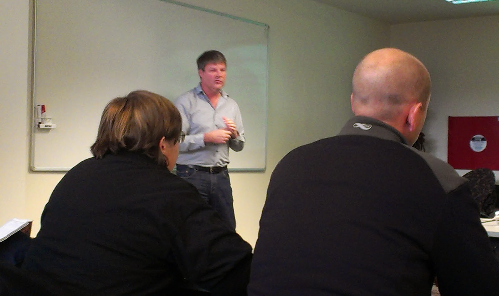
We were briefed at New Zealand's Canterbury University which houses the Forestry Program and SCION,
.jpg) |
| Murray Dudfield talks about the earthquake in Christchurch |
.jpg) |
| Grant Pearce with SCION |
Tech transfer is a major focus of the research program - how to get the results out to people in the field. They have had to produce different tools because they find the conversation about application of the research on fires is different for each audience. They produce reports, summaries, have a website and email newsletters, conduct research sharing workshops and they have developed training tools such as a field manual, software, smartphone apps, and photoguides.
There are four research themes for 2012-2016
1. Emerging risks in new fuel types - climate change
2. Enhanced community resilience -educating at risk people, fire readiness
3. Use of fire as a land management tool - issues/ benefits, impacts on ecosystem
4. Improving safety and productivity - production rates for firefighters, new suppression technology

You don't get the sense that they are as focused on fire here as in Australia which makes sense as this is not historically a very fire prone area and they have many other recurring natural disasters to worry about that
.jpg)
They are looking at effects of climate change on fire since they are seeing significant increases in fire danger in most of the country. And they are predicting rapid increases in fire danger through 2040, almost doubling the number of days in extreme range. They have a new National Fire Weather System showing historic, current, & forecasted weather all in one place which became operational in Aug of 2013 and is linked to a smart app "Fire Danger Rating" for the public. The app uses GPS to find weather nearest the user and links weather to fire danger, to tell them what activities to avoid. So far they have only piloted a beta version of the app but it will be going public soon.
.jpg) |
| Buckets hand from the ceiling |
 |
| Bagged fire hose ready to go. |
Convincing people to fund protection programs or not destroy patches on private land is challenging.
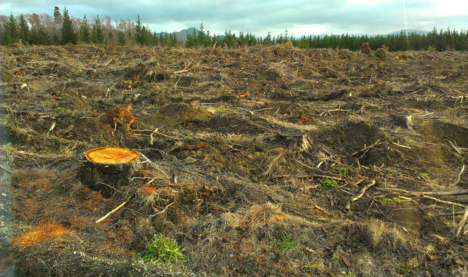
Then we headed up to some pine plantations near Hanmer Springs. Hanmer Springs is a beautiful mountain community known for its miles of "tracks" or trails popular with "trampers" or hikers. They have trails for horses, for bikes, for hiking and many other uses and a very popular hot springs. Interestingly, it's actually a managed plantation which allows
 |
| Hanmer Springs Forest |
.jpg) |
| Recently cut plantation forest. |
 |
| Scenary on the way to Hanmer Springs |
Friday, May 16, 2014
5/13/14 - Saturday, last day in Tasmania
Well it's been several days since I posted anything - we've had some time off and moved a lot, so that, combined with a lack of internet makes it hard. Monday 13th of May we had our last day in Australia and in Tasmania, the 14th we had a very long day flying to Christchurch, New Zealand, spent the 15th in Christchurch and Hanmer Springs, and on the 16th, took a very long bus ride from Hanmer Springs up the northern end of the southern island of New Zealand to Nelson. So that's the short version and we haven't done a great deal in regards to fire in that time, just a few things.
Our last day in Tasmania was one of the best, I think everyone would agree. We spent the morning in a
 |
| Andrew, the Brigade Commander during the Dunalley Fire |
 |
| The area outlined in black is what burned. |
people, protect valuable community assets, stop building to building ignitions, protect other community assets, focus on firefighting once conditions moderate. Fighting the fire itself was very last in a long line of things to do which helped him let go of the feeling he should be trying to fight the fire and simply try to get people to safety. All in all an interesting approach and opportunity for us all to think about our priorities & objectives during a fire.
 |
| Port Arthur Prison |
 |
| The English Gardens on the prison grounds |
 After lunch we made a quick stop at the Tasmanian Devil Preservation Project. Its difficult to see these animals in the wild since they are nocturnal, so we stopped to see them here. We got there about feeding time and, well, if you don't want to see wild animals tearing meat apart don't watch the video! What's interesting is they seem to have contracted a facial cancer that has affected the entire population. It doesn't affect humans but does shorten the devil"s life span, but not till after they breed, spreading the cancer gene. Some populations free of the cancer have been sent to other countries to try & breed some without the cancer gene. Also at the preserve were kangaroos which we had seen in the wild but not close enough for a good look. So we were able to get some pictures.
 |
| The Candlestick |
 After the animal stop, we headed to a dock where we were treated to a Tasman Island boat tour. I cannot even begin to describe how awesome this trip was, only to say, anytime you get in a 25 person rubber boat where you have to wear a large waterproof poncho and a seat belt, you are in for a treat! We spent a couple hours pounding through the Southern Ocean and Tasman Sea (next
 stop New Zealand!) getting up close a personal with amazing rock formations that jutted hundreds of meters into the sky and seeing Australian fur seals and another kind of fur seal, sunning themselves on the rocks and playing in the water! Several passes by an enormous male albatross, the "bull", and watching the huge Sea Eagle do some fishing, all on a beautiful sunny day - well it could not have been better. The photos here will hopefully give you a glimpse, but there are more in the dropbox. The worst part was saying goodbye to our wonderful Australian host Andrew Graystone who had been with us since we arrived.
Tuesday, May 13, 2014
5/12/14 Finishing the post from TFS Headquarters
So to finish the last post, we then had a presentation from Tony Blanks about Smoke Management. After
bushfires and prescribed burns began impacting communities, there was public pressure to do something about the smoke, especially in Tasmania where eco-tourism is a big deal. So they created a coordinated Smoke Management Strategy in 2009. They have created air sheds like water catchments with very specific guidelines for weather, size and frequency of burns, etc. There are 11 air sheds statewide and air quality and burning is divided into smoke units. There are only so many smoke units available and people have to bid on them. They have a website where people can see planned burns, can see on the map what was lit that day or remains lit from days before and there is a burn bulletin put out each day about whats planned followed by whats been achieved. He says its not a perfect system but it seems to be working fairly well.
 |
| Tony talks about smoke. |
Then we heard from Andrew who gave us a description of how TFS warned and worked with the community during last January’s fire in Dunalley. He was working as the state PIO during that time and coordinating information on many fires statewide. Many PIO's with IMT's were doing incident specific work and Andrew was coordinating it all and putting out aggregated messages, updating the state website and doing live radio updates.
Andrew used the national warning and advisories system a lot before the most active fire day. He says they sent 600 emergency warnings which replicate to Twitter and Facebook, 23,500 alerts to phones and had 1.5 million hits to the website. He commented that after the last fire season when the website had crashed, they had upgraded it to be more robust which was fortunate and this time it held up. The FB page had 127,000 contacts. They also use a system called TASALERT which can be manually or automatically replicated with dispatch information but pulls in all alerts fromfire dispatch or police automatically. Most of this information also goes automatically to media partners who sign up to receive the alerts and warnings, but they are required to read the information EXACTLY as it comes to them.
 |
| Mel Irons presents |
Andrew added that his most effective tool was regular live briefings on the radio station. ABC radio is the official emergency broadcast radio station and he got very good feedback about the, once per hour, very blunt information he provided. He said, he confirmed as much information as he could based on radio traffic, maps and dispatch, but did not worry about actually confirming information with ground personnel as they were very busy. If there was information that could change he was clear it was “current” information that might change. He worked in conjunction with a community member, Mel Irons, who had created an ad hoc social media page that worked hand in hand with his official fire information.
Mel spoke to us about how her Facebook Page, Tassie Fires - We Can Help, emerged as the fire grew and how she and Andrew collaborated to assist. She says she simply wanted to help and so created a Facebook page for people to share information. She had specific objectives she tried to stick to. It didn't take off immediately, but as soon as she told the main Emergency radio Station ABC Radio, it took off.
 |
| Mel's Community Facebook Page |
She wanted the page to be positive. She did not post fire information at all although sometimes people posted information. Specific fire detail was a role filled by Andrew, but she did help drive people to the official TFS website, and let people know about Andrew’s hourly broadcasts. She worked to focus the page on sharing information, allowing people in need to ask for things, and allowing posts from people who had things to offer. Because the Dunalley peninsula was cut off from the mainland, she coordinated needs for fuel, food and other kinds of help. She says she tried to verify things but since the island is small, she knew most people and so didn't verify most things. Many times people ask her to post things offering help or a place to stay or meals and she would. Sometimes it was a boat leaving and anyone who need a ride could hop on. This proved critical because there was no way off the peninsula.
 |
| Tassie fires webpage |
She and Andrew say the key was collaboration and allowing each to play the role they could and assist the community. They shared information with Andrew providing official statistics, warnings and updates and Mel giving the community a place to help each other. Mel posted around 13 hours a day for two weeks both during the fire and after, to assist in recovery - she did 2400 posts. She has since changed the Ph.D she was working on to focus on what happened in Dunalley with social media.
Her analytics showed heavy use: 21,000 very active people, 301,646 using the page, 80% female and 20% male with 35-44 the primary age group. She has since started a webpage which is still bringing people together.
Subscribe to:
Posts (Atom)